In Shepparton, the flat floodplain terrain of the Goulburn River valley often masks subtle geotechnical challenges. Many times we see developers assume that because the ground looks uniform, it is stable. That assumption can be costly. The region's alluvial soils — silty clays overlying sandy gravels — respond differently once excavated or loaded. A proper stability analysis here requires understanding how those layered strata behave under both static and seismic conditions. Before any cut or fill operation, we combine field data from test pits and boreholes with a calicatas exploratorias campaign to map soil variability across the site. That initial reconnaissance often reveals old river channels or soft pockets that would otherwise remain hidden until movement begins.
A 4-meter excavation in Shepparton's soft clay can develop a factor of safety below 1.2 without proper drainage control — that is dangerously close to failure.
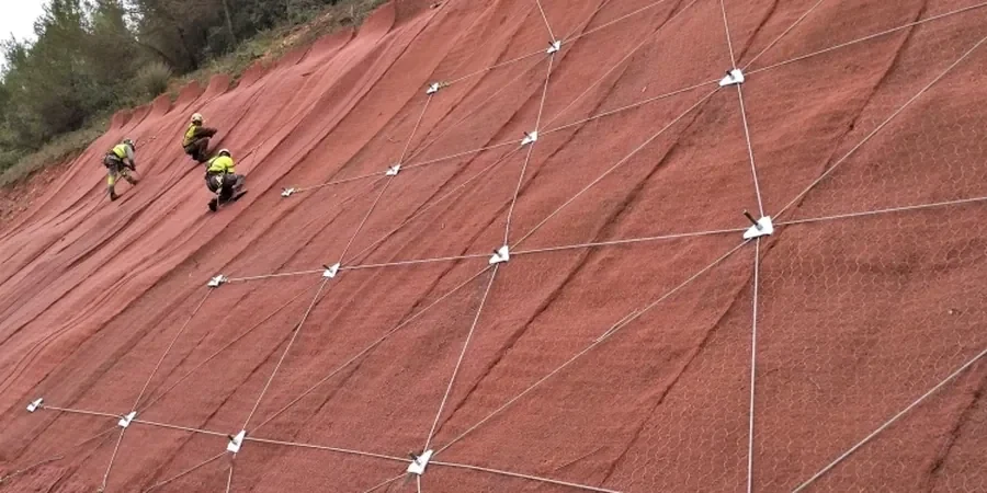
Method and coverage
Regional considerations
Shepparton's urban growth has pushed developments onto former agricultural land with artificial drainage networks. Over decades, those old drains have altered the natural groundwater regime. When we cut into that ground, we often encounter perched water tables that were not recorded in regional maps. The main risk in slope stability for this area is not a catastrophic landslide — the terrain is too flat for that. Instead, it is progressive, shallow-seated failures along the clay-sand interface. These movements crack pavements, tilt fences, and slowly undermine retaining walls. The cost of repairing that damage after construction far exceeds the cost of a proper stability assessment beforehand.
Process video
Standards that apply
AS 4678-2002 Earth-retaining structures, AS 1726-2017 Geotechnical site investigations, AS/NZS 1170.4-2007 Structural design actions – earthquake actions
Complementary services
Cut and Fill Slope Design
Limit-equilibrium analysis for temporary and permanent cuts up to 8 m deep. We model layered alluvial profiles, include berms and drainage blankets, and provide reinforcement recommendations such as soil nails or geogrids when the factor of safety falls short.
Embankment Stability Review
Assessment of existing or proposed embankments for road, levee, or platform construction. We account for rapid drawdown in the adjacent Goulburn River and the effect of cyclic loading from irrigation pumps. All work references AS 4678 and includes instrumentation monitoring plans.
Typical parameters
Top questions
What is the typical factor of safety required for a slope in Shepparton under permanent conditions?
For permanent slopes in Shepparton we target a minimum factor of safety of 1.5 under static conditions, as recommended by AS 4678. For temporary excavations that will be backfilled within weeks, a factor of 1.3 is generally accepted. Seismic checks using AS/NZS 1170.4 require a minimum of 1.1.
How much does a slope stability analysis cost in Shepparton?
The cost for a slope stability analysis in Shepparton typically ranges between AU$1.900 and AU$6.170 depending on the number of cross-sections, the complexity of the groundwater model, and whether laboratory testing is required. This includes the field investigation, lab work, and the final report with reinforcement recommendations.
What soil parameters are most critical for stability analysis in alluvial clays?
In Shepparton's alluvial clays, the undrained shear strength (c_u) and the effective friction angle (phi') are the two most critical parameters. We obtain c_u from unconsolidated-undrained triaxial tests on undisturbed samples, and phi' from consolidated-drained triaxial tests. Pore pressure response during loading is equally important — we measure it with piezometers installed in the clay layers.